geostats can be used to analyze numerical data, classify it and use it for basic statistical operations.
The library can tell if a number is inside a certain interval, is unique in its series, supports the Jenks optimization method and can handle quantiles.
Besides these, geostats can also compute basic statistics features like minimum values, maximum values, sums, counts, variance, ranges, means or medians.
Once this information processed, data is classified accordingly and fed to a data interpretation toolkit which can then use it to build complex data visualization graphs or applications (charts, graphs, plots, maps, etc.).
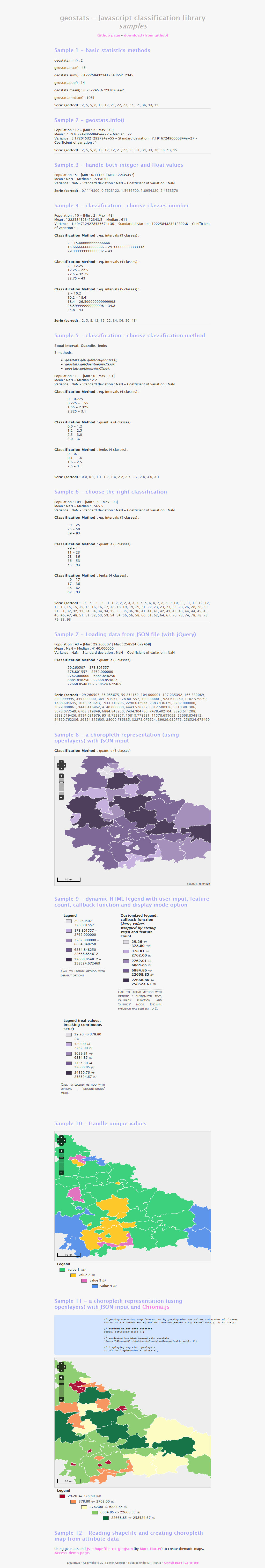
To help developers get started with using geostats, lots of examples are included with the download package.
What is new in this release:
- Author website update.
What is new in version 1.4.0:
- Author website update.
What is new in version 1.3.0:
- Author website update.
Requirements:
- JavaScript enabled on client side
Komentáře nebyl nalezen